3D Earth
The functions supported by 3D Earth include: Build New 3D Earth, Add Layer, Draw Features, Execute Analysis, Save Scene.
Build New 3D Earth
You can click on the 3D Earth in the application center, and click "Get Starated" in the pop-up page. You can also click "Resource Center", "Scene", "Create Scene" to open the 3D Earth. In the resource center, you can view or edit your saved scenes.
Add Layer
Click the Add button on the toolbar in the upper left corner to add a layer.

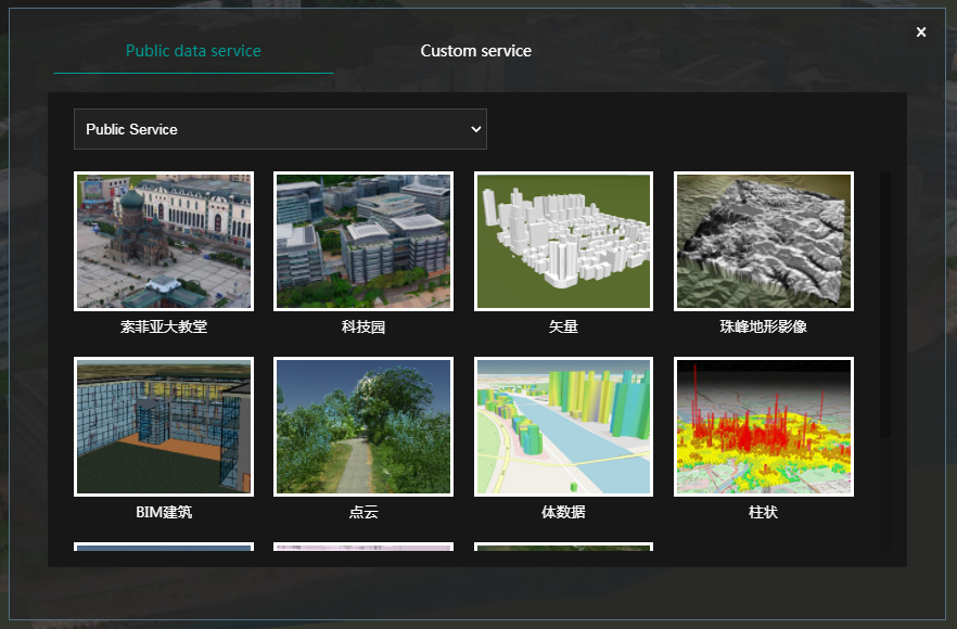
You can use the public data service we provide you, or you can use the 3D service you uploaded and published in Cloud Storage in a custom service.
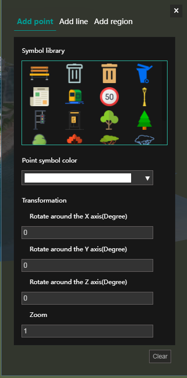
Drawing Elements
After adding the layer, click the "Online Editing" button in the upper left corner of the toolbar.

You can select the symbol and style of point/line/area, and add point, line, or area elements to the current scene.
Perform Analysis
You can use other functions in the toolbar to perform model clipping, terrain analysis, 3D analysis and measurement of the current scene. The picture shows the measurement and distance measurement function.

Save the Scene
After the production is completed, click the save button on the right to save the current 3D scene.