Upload Data
Why does it need configuring projected coordinate system when uploading data?
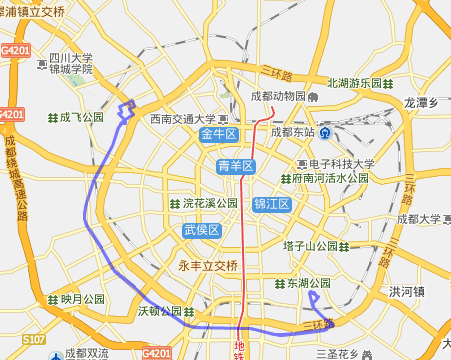
Due to the different data generation sources, the maps may use different coordinate systems, which may cause map data deviation problem even cause the map not to be displayed. The following is an example of data deviation because of different coordinate systems:
To ensure the uploaded data to be overlaid with the base map well, firstly specify its coordinate system.
How to configure projected coordinate system when uploading data?
Step1 Open data uploading window
Click the options as follows:
- My content
- My data
- Upload data
Tips: if you are not clear which coordinate system the data uses, you can try overlaying it to a type of map to see whether there is offset, if there is offset, you can change to another type of map, then try other ones one by one. If all those maps have offset, its coordinate system may not be supported now by SuperMap Online, and you can contact our support engineer.
Step2 Choose data, coordinates system type and data type
Choose your data(with format *.zip) in the dialog, the supported data types are:
- Workspace
- Shapefile
Supported coordinate systems:
- GPS lat/long
- GPS mercator Navinfo, AutoNavi latitude and longitude Navinfo, AutoNavi Mercator Baidu latitude and longitude
- Other
Step3 Upload completed
After uploading, you can view the uploaded data in the data list. You could publish a REST Map Service with your data.